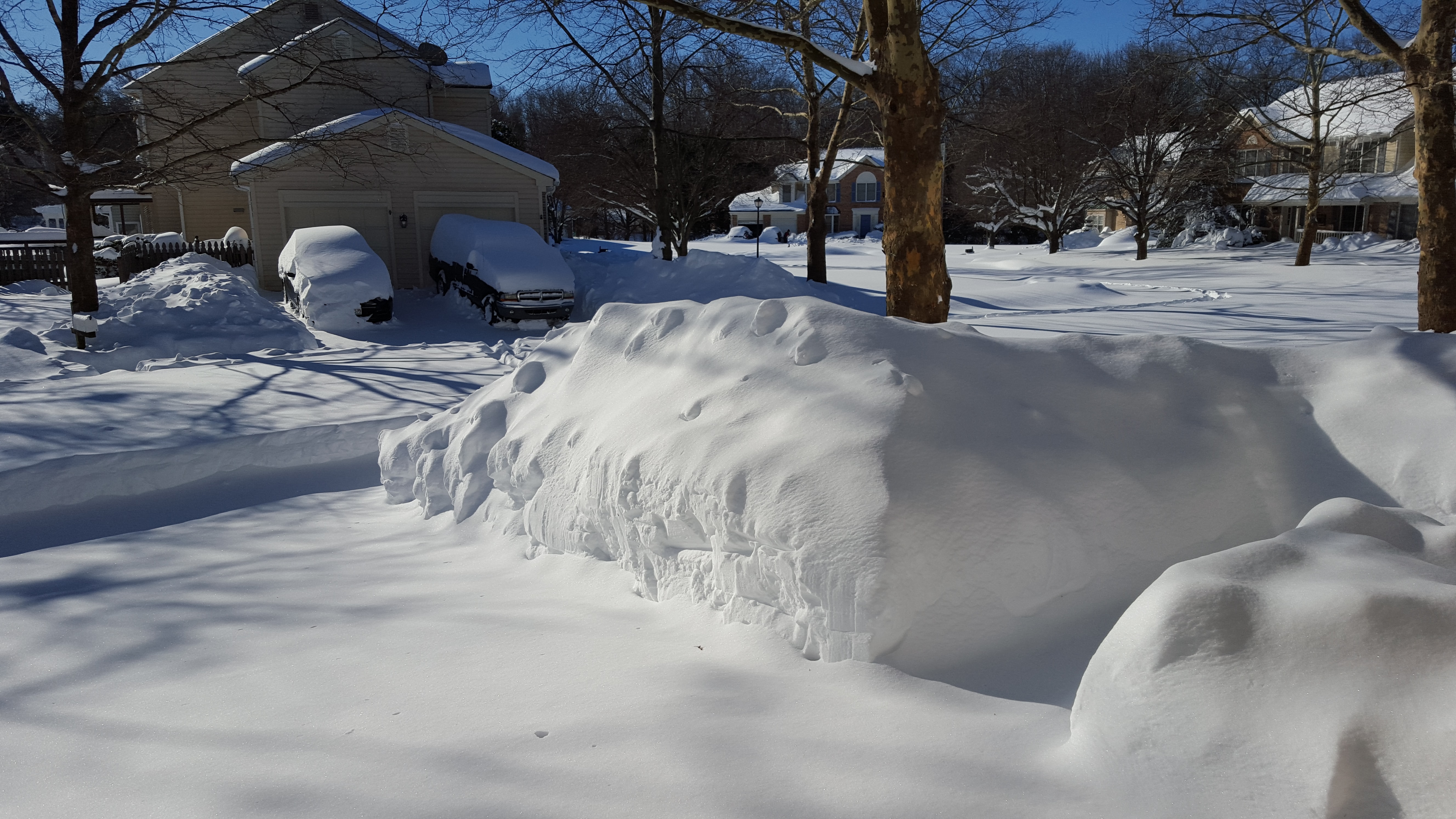
“The current polar front is quite an unusual situation that we have been experiencing since the beginning of January, whether it is the extreme snowstorm in Madrid or the polar cold air currently in Germany. This can also be attributed to the fact that the polar vortex has become unstable” explains PIK researcher Stefan Rahmstorf.
The Polar vortex rotates counterclockwise around the Arctic. It encloses Arctic cold air like a double ring fence - double because in the lower layer of the atmosphere, the jet stream surrounds the cold air. Higher up, in the stratosphere, the polar vortex forms a second, tighter ring.
When this double fence weakens, an exit forms for the cold air to move to the adjacent continents – either to North America, where it can then become very cold, or also to northern Europe and across to Siberia. It depends on the weather pattern whether it is then only cold and dry, or cold and snowy.
Unstable polar vortex due to warming of the Arctic
Rahmstorf goes on to explain, “Unstable polar vortices happen from time to time, but evaluations of data from the last few decades have shown that the number of days has greatly increased." The connection between cold air intrusion and unstable polar vortices is also confirmed by Marlene Kretschmer (University of Reading, formerly of PIK): We know that the probabilities for such weather situations increase very strongly when the polar vortex is weak.”
According to Kretschmer, the likely cause of this increasing instability of the polar vortex is the particularly strong warming of the Arctic and the decrease in sea ice there. She has shown in a new study using climate models that further destabilization of the polar vortex can be expected over the decades as a result of further global warming.
Rahmstorf expects the phenomenon will likely continue to increase, but will be overshadowed by the overall warming trend: “The polar cold air is also not what it used to be: the polar air masses moving toward us from the Arctic are gradually getting warmer.”
Drought despite heavy precipitation – how is that possible?
Despite the heavy precipitation and increased snowfall, there are still widespread areas of drought in Germany, as also indicated by the Drought Monitor of the Helmholtz Centre for Environmental Research. PIK researcher Fred Hattermann explains: “The drought has built up over a long period of time, especially over the last three years. At the moment, the upper soil layers are well filled by rain and snow and that is why there is no drought there. However, if we have another very dry spring, those stocks will be depleted pretty quickly, even depending on the storage capacity of the regional soils.”
According to Hattermann, vegetation generally consumes more water throughout the year due to generally higher temperatures. If this consumption is not compensated by increasing precipitation, dry periods could occur again, especially in summer.
Regarding the possible consequences of prolonged drought, Hattermann clarifies: “We are already noticing that our water infrastructure is not adapted to the consequences of climate change that have already occured, so that there are local problems with water supply. But also other sectors like agriculture and forestry suffer from the consequences of climate change. You see this fact in reverse again, for example, with extreme precipitation, which leads to severe local flooding.”
Overall, Hattermann expects that there will also be longer periods without precipitation in the future – but when some does fall, it could be more intense, especially in the summer half-year.
Contact:
PIK press office
Phone: +49 331 288 25 07
E-Mail: press@pik-potsdam.de
Twitter: @PIK_Climate
www.pik-potsdam.de


